ACC News Brief
Climate Resilience Global forecasting research
Satellite views of vegetation could sharpen temperature forecasts
What happened
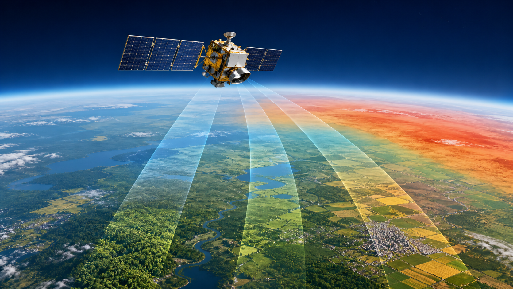
Researchers added satellite observations of land-surface temperature, vegetation condition, and solar-induced fluorescence to machine-learning surrogate weather models. Across global tests from one to 12 days ahead, the added land information improved median near-surface temperature forecast skill by about 6 to 7 percent, with particularly useful gains at several-day lead times.
Why it matters
Better temperature forecasts can strengthen heat-health alerts, energy planning, agriculture, and other climate-resilience decisions. The study tested surrogate machine-learning models rather than direct data assimilation into an operational numerical weather service, and satellite coverage, clouds, regional biases, and training choices can limit or reverse gains in some places.
What to watch
- Direct assimilation trials in operational numerical-weather systems and verification during heat waves, cold spells, drought, and rapidly changing land conditions.
- Regional failure modes, cloud and observation gaps, computational cost, and whether improved forecast scores translate into better public warnings and decisions.
Sources & evidence
- Land surface information from satellites boost near-surface temperature forecast skillPeer-reviewed Article in Communications Earth & Environment 7, published February 18, 2026. The authors tested LSTM surrogate numerical-weather models with satellite land-surface temperature, vegetation-index, and solar-induced-fluorescence predictors at one- to 12-day lead times. The result is DEMONSTRATED / MODELED forecast research, not an operating forecast-service deployment, and performance varied across regions and data conditions.
Continue learning with ACC
Explore ACC's climate resilience guide