ACC News Brief
Resilience Iran
Land conversion drives modeled flood risk in an Iranian watershed
What happened
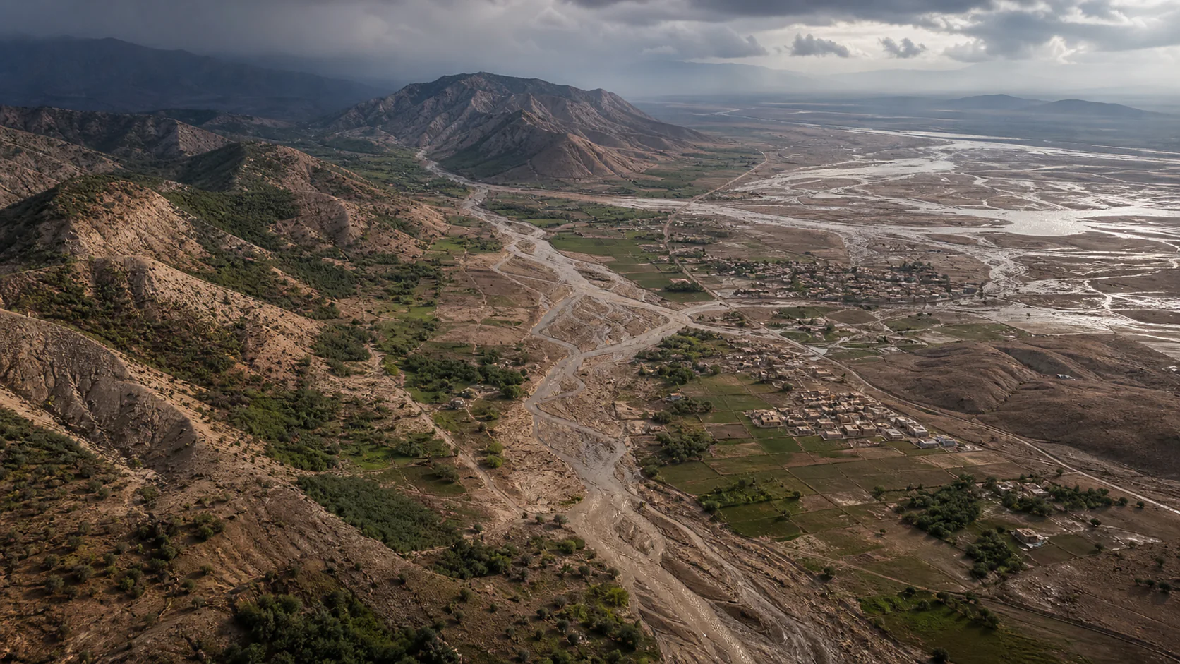
Researchers combined land-use projections, climate scenarios, and deep-learning models validated against observed discharge for Iran's Gharesou watershed. They project the high-to-very-high flood-susceptibility area rising from 62 to 87 percent by 2054 and attribute roughly 60 to 70 percent of the added risk to land-use change and 30 to 40 percent to climate change; these are local scenario results, not observations of future floods.
Why it matters
The study points to local resilience levers alongside emissions cuts: protect vegetation, limit risky conversion, restore degraded land, and keep new development away from places where runoff is likely to concentrate.
What to watch
- Field validation as land cover, streamflow, and extreme rainfall change over time.
- Whether local planning and restoration programs protect the high-risk zones identified by the model.
Sources & evidence
- Predicting the flood susceptibility under land use and climate change scenarios using deep learning algorithmsPeer-reviewed modeling study, Scientific Reports, DOI 10.1038/s41598-026-60216-3, published June 27, 2026; Gharesou watershed, Iran.
Continue learning with ACC
Explore ACC's climate resilience guide