ACC News Brief
Wildfires Indonesia and Singapore
Satellite observation and official updates - hotspot counts use different dates and thresholds
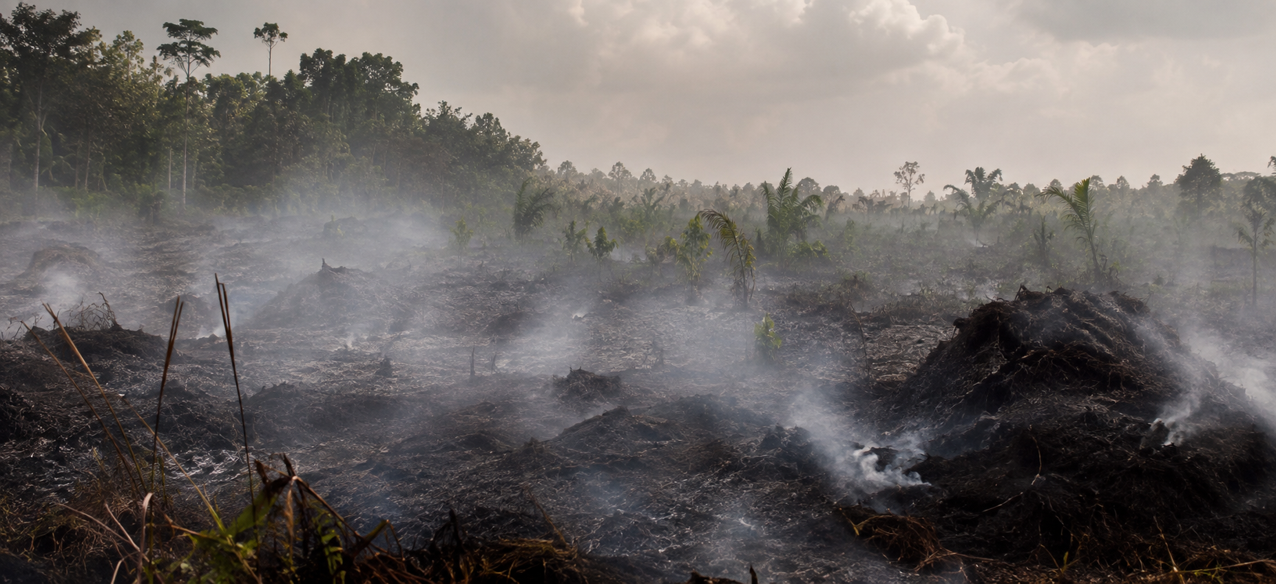
Peat fires darken skies over Indonesia
What happened
NASA satellite imagery shows widespread smoke and thermal anomalies as fires burn in drought-stressed Indonesian peatlands. Indonesia's monitoring platform counted 946 hotspots on August 31. The Forestry Ministry later reported 688 high-confidence hotspots as of 9:19 p.m. WIB on September 3, while Singapore reported smoke drifting from Sumatra and Kalimantan and a 24-hour Pollutant Standards Index range of 98 to 112 at 5 p.m. on September 4.
ACC context
A satellite fire detection is a flagged pixel, not an individual fire. Smoke, clouds, vegetation, and underground burning can hide active fires, and the 946 and 688 counts cannot establish a trend.
Why it matters
Peat fires can smolder underground, resist suppression, and produce intense air pollution. Dry conditions make spread easier, but drainage, land management, and human ignition are also central to risk; El Nino is not the sole explanation.
What to watch
- Comparable hotspot, burned-area, and emissions estimates using clearly stated dates and thresholds.
- Regional air-quality readings and public-health guidance as smoke moves across borders.
- Rainfall, suppression progress, peat rewetting, and land-management enforcement.
Sources & evidence
- Peatland fires darken skies in IndonesiaNASA Earth Observatory satellite analysis published September 3, 2026, with imagery from September 1 and August 31 hotspot context.
- Indonesia Forestry Ministry peat-fire operations updateIndonesian Forestry Ministry update reporting high-confidence hotspots and operational conditions through late September 3.
- Haze situation update, 4 September 2026Meteorological Service Singapore update on smoke movement and 24-hour Pollutant Standards Index readings.
Continue learning with ACC
Explore wildfire, smoke, public-health, and preparedness strategies