ACC News Brief
Food & Agriculture Global
Growing-season maps reveal agricultural drought hotspots annual averages miss
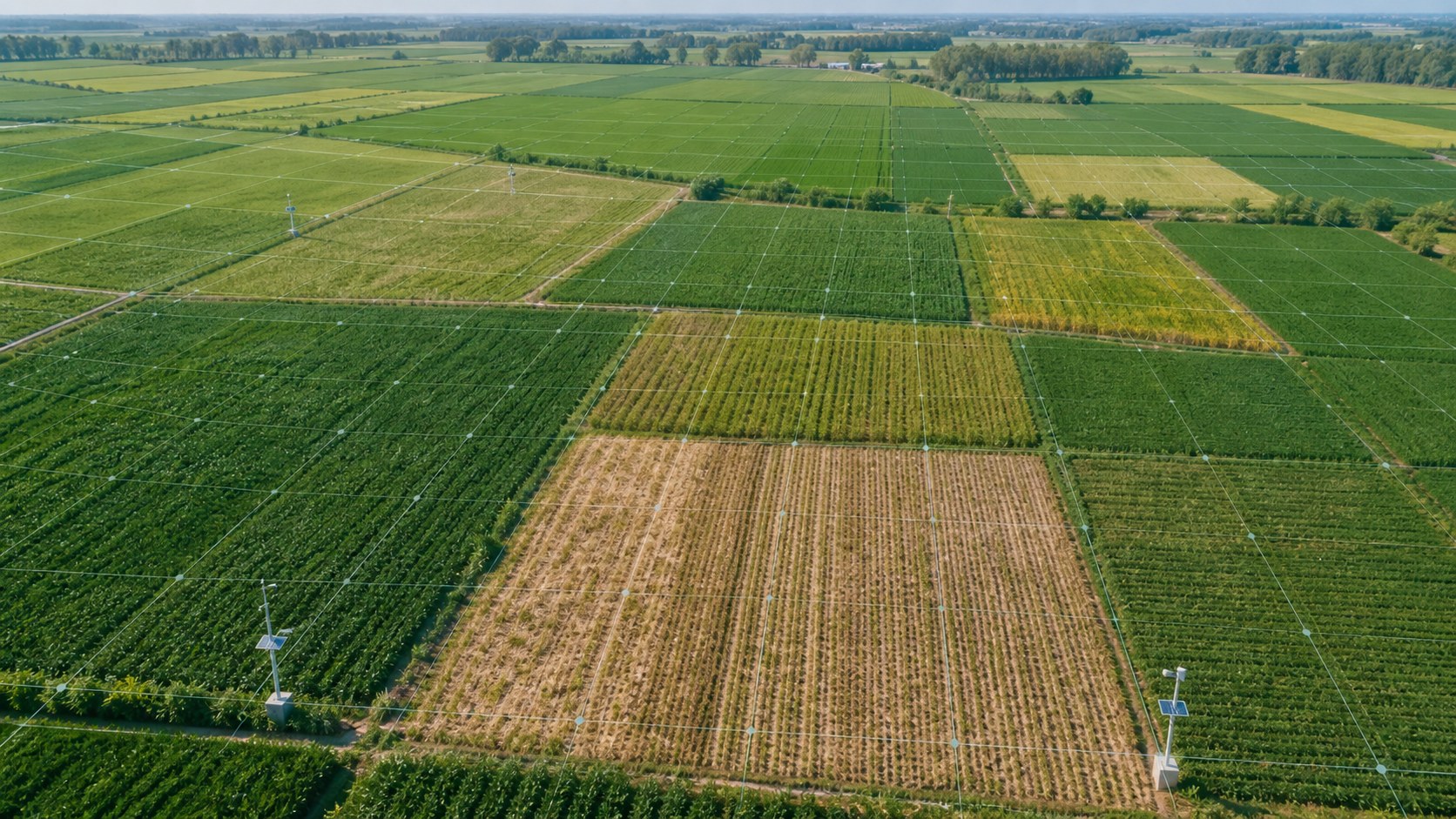
What happened
A peer-reviewed analysis combining ERA5 climate reanalysis with CMIP6 simulations identified emerging agricultural-drought hotspots across much of Europe, southern Africa, northern South America, and western North America. By tracking root-zone soil moisture before and during local growing seasons, the study found drying signals even in some regions where precipitation projections disagree and showed that annual averages can miss risks that matter to crops.
Why it matters
Farms depend on when water is available, not only on annual rainfall totals. Seasonal soil-moisture information can help guide crop choices, irrigation planning, soil-water conservation, insurance, and early-warning systems, but this study maps climatic hazard rather than predicting crop losses or the outcome for any individual farm.
What to watch
- Regional validation with crop, soil, irrigation, and farm-management observations.
- Whether agricultural advisories and drought early-warning systems incorporate antecedent and growing-season soil moisture.
- Investment in water-efficient irrigation, soil cover, crop diversity, drought-tolerant varieties, and farmer access to forecasts.
Sources & evidence
- Emerging hotspots of agricultural drought under climate changePeer-reviewed Article in Nature Geoscience, published January 14, 2026. The study compares reanalysis with simulations across Shared Socioeconomic Pathways and reports regional agricultural-drought hazards; it does not directly estimate crop yields or guarantee local outcomes.
- Agricultural drought hotspot study dataOpen Zenodo data record linked by the paper for reproducing its figures and intermediate datasets.
Continue learning with ACC
Explore ACC's regenerative food and land guide