
ACC News Brief
Climate Solutions Global Cities
Building-level roof maps could target cooler city retrofits
What happened
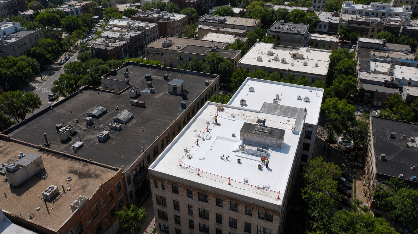
A Nature Communications study produced 30-centimetre urban surface-albedo maps for 12 cities by combining Sentinel-2 data with high-resolution imagery, allowing researchers to identify individual roofs that could reflect more heat. In modeled targeted-retrofit scenarios, higher-albedo surfaces reduced citywide air temperature by as much as 0.
Why it matters
5 degrees Celsius, suggesting a more precise way to prioritize cool-roof programs while recognizing that results depend on local design and climate.
What to watch
- Further verified reporting or data from Nature Communications and other primary sources.
- How this develops in Global Cities, especially around Cool Roofs, Urban Heat, Remote Sensing.
Continue learning with ACC
Explore the ACC Education Center