ACC News Brief
Biodiversity & Conservation Global
Global map finds human development along nearly one in five riverfronts
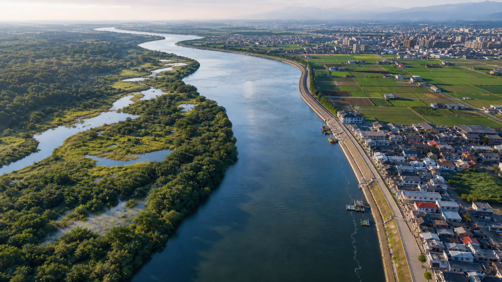
What happened
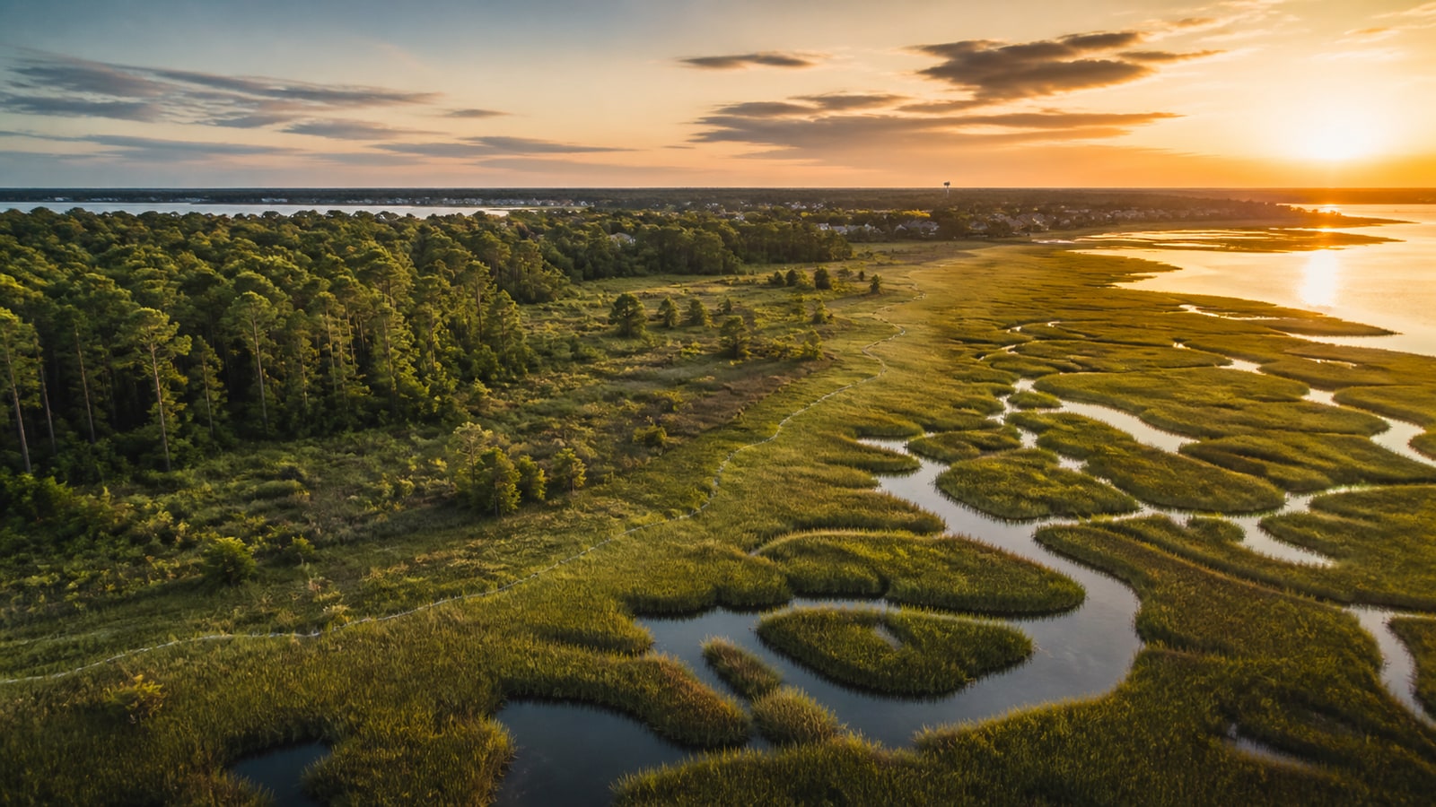
A Nature Communications team used satellite imagery and deep learning to map 7.52 million kilometers of riverfronts worldwide. It classified nearly 20% as modified by people, led by agriculture at 13.43% and built development at 6.29%. The study identified a dense belt across parts of Africa and Eurasia that contains about 60% of mapped alterations and reported links between lateral fragmentation, water-quality decline, and biodiversity pressure.
Why it matters
River edges filter runoff, connect habitat, buffer floods, and support communities. A consistent global map can help planners identify where restoration or stronger land-use safeguards may matter most, but remote-sensing classifications do not replace local ecological measurements or prove the cause of every water-quality problem.
What to watch
- How field surveys refine the map in regions where seasonal water, small farms, or informal development are difficult to classify.
- Whether river-basin planners use the dataset to prioritize riparian buffers, wetland restoration, and lower-impact development.
- How mapped modification aligns with measured water quality, flood exposure, and species trends at local scales.
Sources & evidence
- Nature Communications: Human imprints on global riverfrontsOpen-access research article published July 18, 2026; DOI 10.1038/s41467-026-75777-0.
Continue learning with ACC
Explore ACC's ecosystems guide