ACC News Brief
Biodiversity & Conservation Georgia coast, United States
Georgia plan maps room for salt marshes to migrate inland
What happened
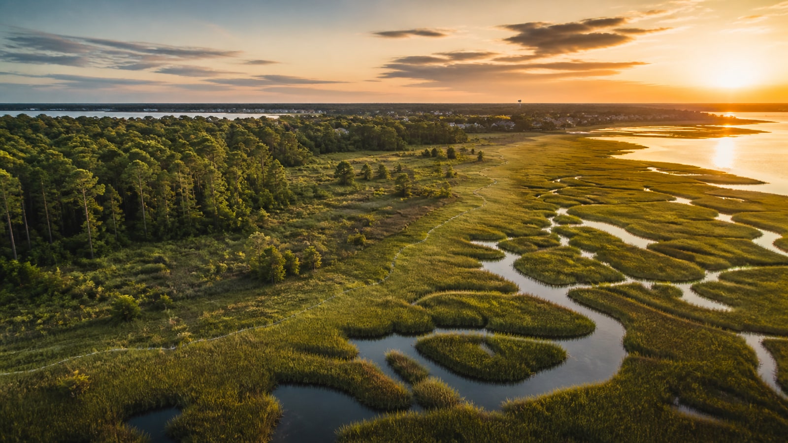
A Georgia Conservancy initiative identifies more than 56,000 acres where salt marshes could move inland as sea levels rise, provided those areas remain available. Georgia holds more than one-third of the connected salt-marsh habitat along the southeastern U.S. coast, making early land-use choices especially consequential.
Why it matters
Salt marshes buffer waves, store carbon, support fisheries, and provide wildlife habitat, but hard development boundaries can leave them nowhere to move. The plan is a modeled, nonbinding opportunity map: it has not acquired or protected the identified land.
What to watch
- Local zoning, conservation easements, acquisitions, and incentives that turn mapped corridors into durable protection.
- How landowners and coastal communities shape voluntary implementation.
- Updated sea-level and marsh-migration modeling as conditions change.
Sources & evidence
- A new plan to preserve Georgia marshes: Give them space to migrateGrist Solutions reporting published August 10, 2026, describing the migration-corridor plan, acreage, stakeholders, and implementation limits.
- Coast and Salt MarshGeorgia Conservancy program page describing its coastal resilience and salt-marsh conservation work.
Continue learning with ACC
Explore ACC's ecosystems guide