ACC News Brief
Public Health United States
Machine-learning model could sharpen wildfire-smoke forecasts
What happened
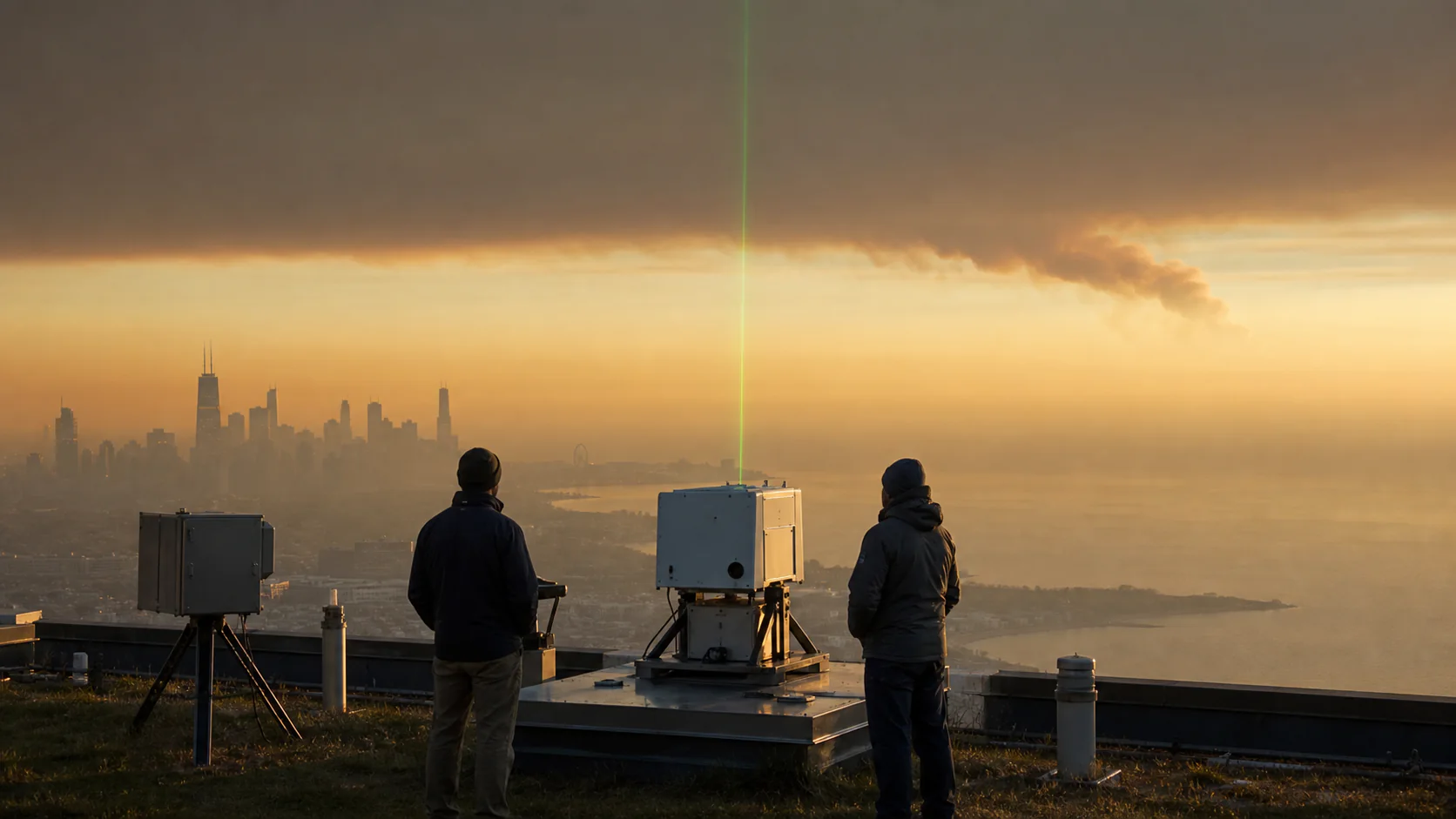
University of Wisconsin-Madison researchers and collaborators developed a machine-learning method that estimates atmospheric boundary-layer height from Doppler lidar data in near real time. Phys.org reports that using relationships between successive measurements can reduce the identification lag from hours to minutes, helping capture rapid shifts that affect whether smoke mixes upward or remains trapped near the surface. The underlying work is an arXiv preprint, so the method still needs broader testing and operational evaluation.
Why it matters
Wildfire smoke exposure can change quickly as the lower atmosphere compresses at night and expands during the day. Faster boundary-layer estimates could help forecasters and public-health agencies issue more timely, neighborhood-relevant air-quality guidance.
What to watch
- Independent validation across different climates, seasons, lidar systems, clouds, rain, and insect activity.
- Whether operational weather and air-quality models improve when they ingest the new estimates.
- How much warning time communities gain during real smoke events compared with current methods.
Sources & evidence
- Predicting where wildfire smoke will go nextUniversity of Wisconsin-Madison research summary published by Phys.org on July 23, 2026.
- High-Resolution Retrieval of Atmospheric Boundary Layers with Nonstationary Gaussian ProcessesarXiv preprint describing the boundary-layer retrieval method; the preprint status is noted in ACC's brief.
Continue learning with ACC
Explore ACC's climate resilience and health guide