ACC News Brief
Wildfires United States
Wildfire maps show widespread risk to historic sites and national parks
What happened
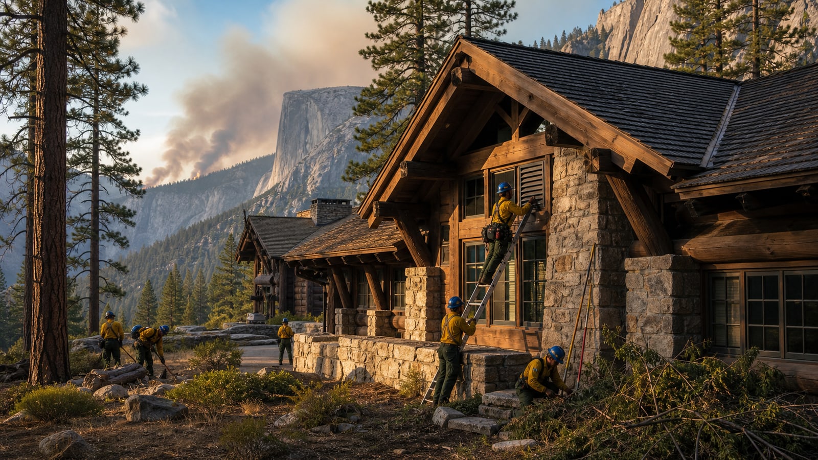
New research reviewed by Inside Climate News found that more than half of roughly 100,000 places on the National Register of Historic Places face measurable wildfire exposure. A separate study projects that, under a high-emissions scenario, potential fire frequency could rise sharply by 2100 in Yosemite, Sequoia, Kings Canyon, and Lassen Volcanic national parks.
Why it matters
Wildfire can erase cultural memory as well as homes and habitat. Detailed risk maps can help managers prioritize defensible space, ember protection, prescribed fire, evacuation planning, and careful retrofits while emissions reductions limit the longer-term rise in dangerous fire conditions.
What to watch
- How park and preservation agencies use fine-scale maps to prioritize limited funds.
- Retrofit methods that reduce ember and structure risk without erasing historic character.
- Whether management plans account for changing fire regimes rather than only historical conditions.
Sources & evidence
- Climate-Fueled Fires Put America's Natural and Cultural Sites At RiskInside Climate News report published August 4, 2026, synthesizing studies of wildfire exposure at historic sites and future fire conditions in California national parks.
Continue learning with ACC
Explore ACC's climate resilience guide