ACC News Brief
Climate Risk Australia
MODELED RISK - conditional exposure and valuation estimates, not a forecast of certain losses
Model estimates A$855 billion in Australian coastal losses under RCP4.5 by 2100
What happened
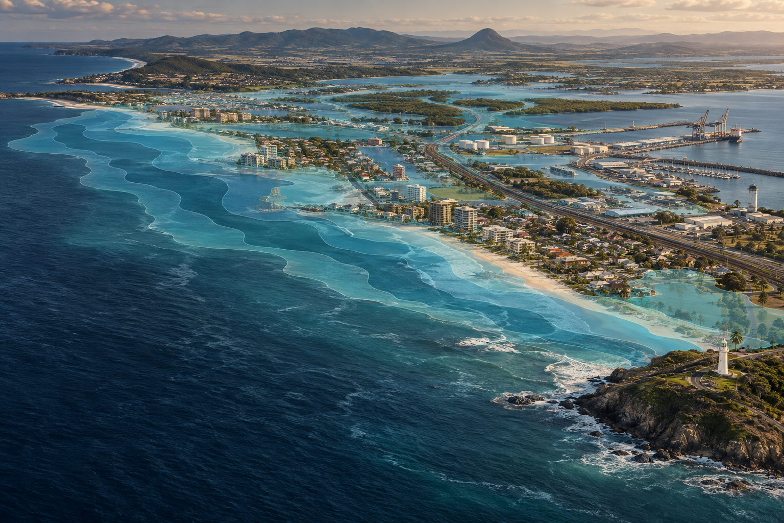
A Scientific Reports study modeled sea-level-rise and storm-surge exposure across 1,156 coastal sub-regions in six Australian states and the Northern Territory. In its RCP4.5 base case, the model estimates 267,500 affected properties and 2.0 million hectares of land by 2100, with A$855.1 billion in cumulative present-value losses. Under the higher RCP8.5 scenario, estimates rise to 719,600 properties, 3.7 million hectares, and A$1.909 trillion.
ACC context
Results depend on RCP4.5 and high-end RCP8.5, a static bathtub inundation approach, a 5 percent base discount rate, linear damage accrual, and incomplete depth-damage data. Several environmental, cultural, infrastructure, erosion, and Antarctic ice-sheet impacts are excluded.
Why it matters
The national-scale model translates physical coastal exposure into economic estimates at a planning-relevant regional scale. The gap between scenarios shows how emissions pathways, land-use decisions, valuation assumptions, and adaptation can shape future losses.
What to watch
- Updates using current Shared Socioeconomic Pathways and improved ice-sheet physics.
- Local hydrodynamic and depth-damage studies testing the national bathtub-style model.
- Adaptation decisions on zoning, protection, accommodation, and managed retreat.
Sources & evidence
- Nationwide economic impacts of sea level rise and storm surge from global warming in AustraliaScientific Reports Version of Record published September 9, 2026; scenario assessment runs from a 2027 baseline to 2100 under RCP4.5 and RCP8.5.
Continue learning with ACC
Compare adaptation pathways by readiness, safeguards, costs, and limits