ACC News Brief
Climate Resilience Global coastal studies
Coastal risk maps may start from a sea level that is too low
What happened
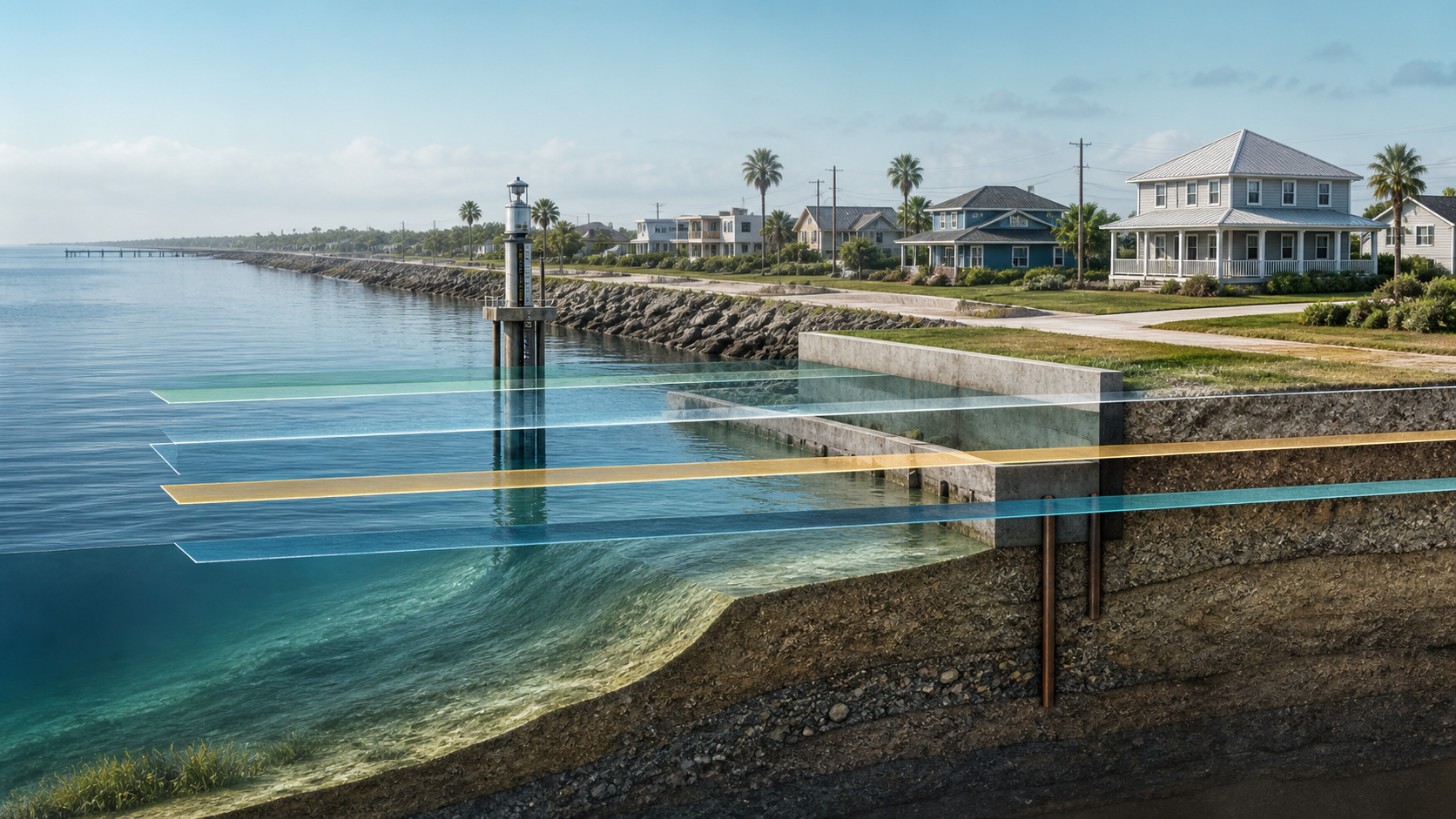
A peer-reviewed review of 385 coastal-hazard studies found that more than 99 percent did not fully align land elevation with the appropriate sea-level reference. Correcting that vertical baseline substantially increased modeled exposure under a hypothetical one-metre rise, especially in parts of the Indo-Pacific.
Why it matters
Adaptation budgets and protection schedules depend on where maps place zero elevation, so a datum mismatch can change which communities and infrastructure appear exposed. The one-metre scenario is a sensitivity test, not a dated forecast, and digital-elevation and local land-motion uncertainties remain.
What to watch
- Use of corrected datasets and the authors' checklist in new coastal assessments.
- Independent reanalysis plus local tide-gauge, elevation, and land-motion validation before plans change.
Sources & evidence
- Sea level much higher than assumed in most coastal hazard assessmentsPeer-reviewed systematic review, Nature (2026), published March 4, 2026. The exposure comparison uses a hypothetical one-metre sea-level rise to test datum alignment; it is not a forecast for a specified year.
- Most studies may underestimate how many people face rising seasIndependent Science News context on the review's methods and implications.
Continue learning with ACC
Explore ACC's climate resilience guide