ACC News Brief
Resilience United States
U.S. coastal flood assessments reveal regional gaps and useful pathways
What happened
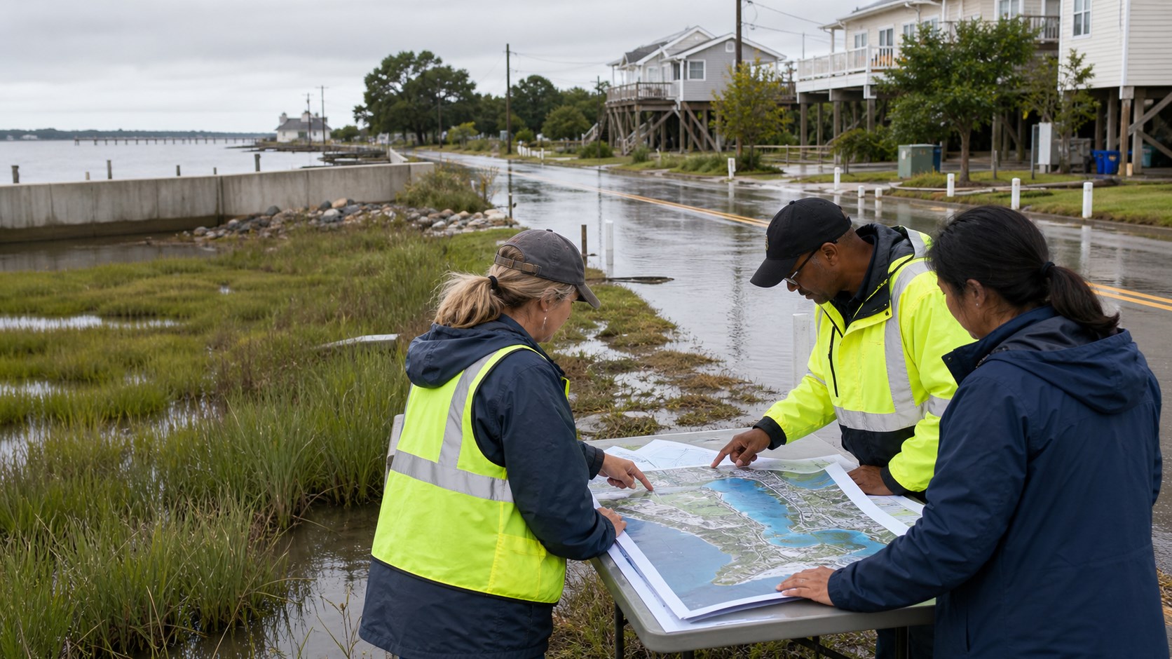
Researchers compiled publicly accessible coastal-impact assessments across the U.S. East and Gulf coasts to compare how regions estimate and explain future flooding. Infrastructure damage appeared in 67% of Southern and 45% of Northeastern projections, while every state in both regions had at least one coastal-impact assessment even when a traditional local sea-level-rise assessment was unavailable.
Why it matters
Communities cannot adapt to risks they cannot see clearly. Local assessments can translate sea-level rise, storm surge, and infrastructure exposure into practical decisions, but differences in methods can also make comparisons and funding priorities harder.
What to watch
- Whether states expand localized sea-level-rise assessments alongside broader coastal-impact studies.
- How planners combine sea-level rise, storm surge, rainfall, erosion, and infrastructure vulnerability.
- Whether public methods and assumptions become easier for communities to compare and update.
Sources & evidence
- Variations in regional assessment strategies for coastal flooding in the U.S. east and gulf coastsOpen-access Scientific Reports research article published July 29, 2026; CC BY-NC-ND 4.0.
Continue learning with ACC
Explore ACC's climate resilience guide