ACC News Brief
Climate Science Global
Machine-learning map refines estimates of the world's glacier ice
What happened
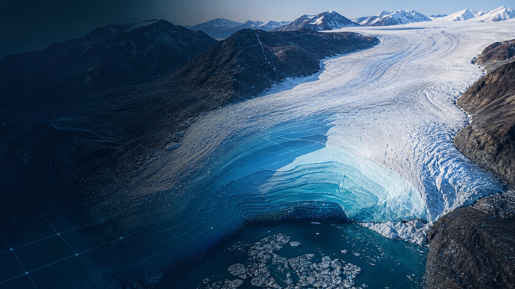
IceBoost v2.0, trained on more than 7 million ice-thickness measurements and 26 physical and geometric variables, estimates about 150,000 cubic kilometers of ice in the world's glaciers outside the Greenland and Antarctic ice sheets. The dataset corresponds to 32.3 centimeters of potential global mean sea-level rise if all that glacier ice melted and improves local thickness estimates against field observations.
Why it matters
Glacier thickness controls how long mountain ice can sustain rivers, ecosystems, agriculture, and communities as the climate warms. A more detailed present-day baseline can improve projections of freshwater availability and sea-level rise while highlighting regions where field measurements remain sparse.
What to watch
- How GlacierMIP4 and future IPCC assessments use the IceBoost v2.0 baseline.
- Additional measurements in the Himalaya, Karakoram, Patagonia, and other data-limited regions.
- Hybrid models that combine machine learning with glacier physics and uncertainty estimates.
Sources & evidence
- New AI model reveals the volume of the world's glaciersCa' Foscari University of Venice report published by Phys.org on August 7, 2026, describing the dataset, model inputs, estimates, and applications.
- Machine-learned global glacier ice volumesPeer-reviewed Scientific Data article presenting IceBoost v2.0.
Continue learning with ACC
Explore ACC's climate science guide