ACC News Brief
Resilience & Adaptation Kenya
Kenya's maize climate-risk map points beyond weather to roads and land tenure
What happened
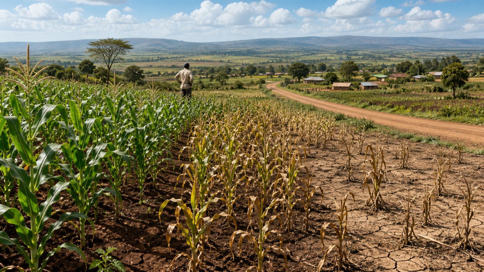
Researchers combined climate exposure, crop sensitivity, and adaptive-capacity indicators into a county-level vulnerability index for Kenya's maize farming systems. Although the study classified potential climate impacts as low in most counties, about 60 percent of counties scored at least 0.6 on its overall vulnerability index because socioeconomic and adaptive-capacity conditions remained limiting.
Why it matters
Climate adaptation for farming depends on more than weather. The analysis points to roads, land tenure, services, and other capacity factors that can shape whether farmers can respond, while providing a screening tool rather than a causal forecast or a direct count of vulnerable farmers.
What to watch
- Updates using more recent county and farm-level data plus locally chosen indicator weights.
- Whether investments selected with the index improve measured yields, income stability, water security, and farmers' ability to recover from climate shocks.
Sources & evidence
- Mapping climate vulnerability to support climate adaptation in maize farming systems in KenyaPeer-reviewed open-access Article in Food Security 18, published February 10, 2026. The study constructed an equally weighted county-level index from exposure, sensitivity, and adaptive-capacity indicators, drawing on climate data averaged over 2008-2018 and socioeconomic information including the 2019 census, then compared the index with maize outcomes. This is MODELED / ESTIMATED decision support, not a causal forecast; indicator selection, equal weighting, older inputs, county aggregation, and only modest agreement with yield measures limit precision.
Continue learning with ACC
Explore ACC's climate resilience guide