ACC News Brief
Resilience Upper Indus Basin
Upper Indus flood risk grows less predictable as rainfall and melt interact
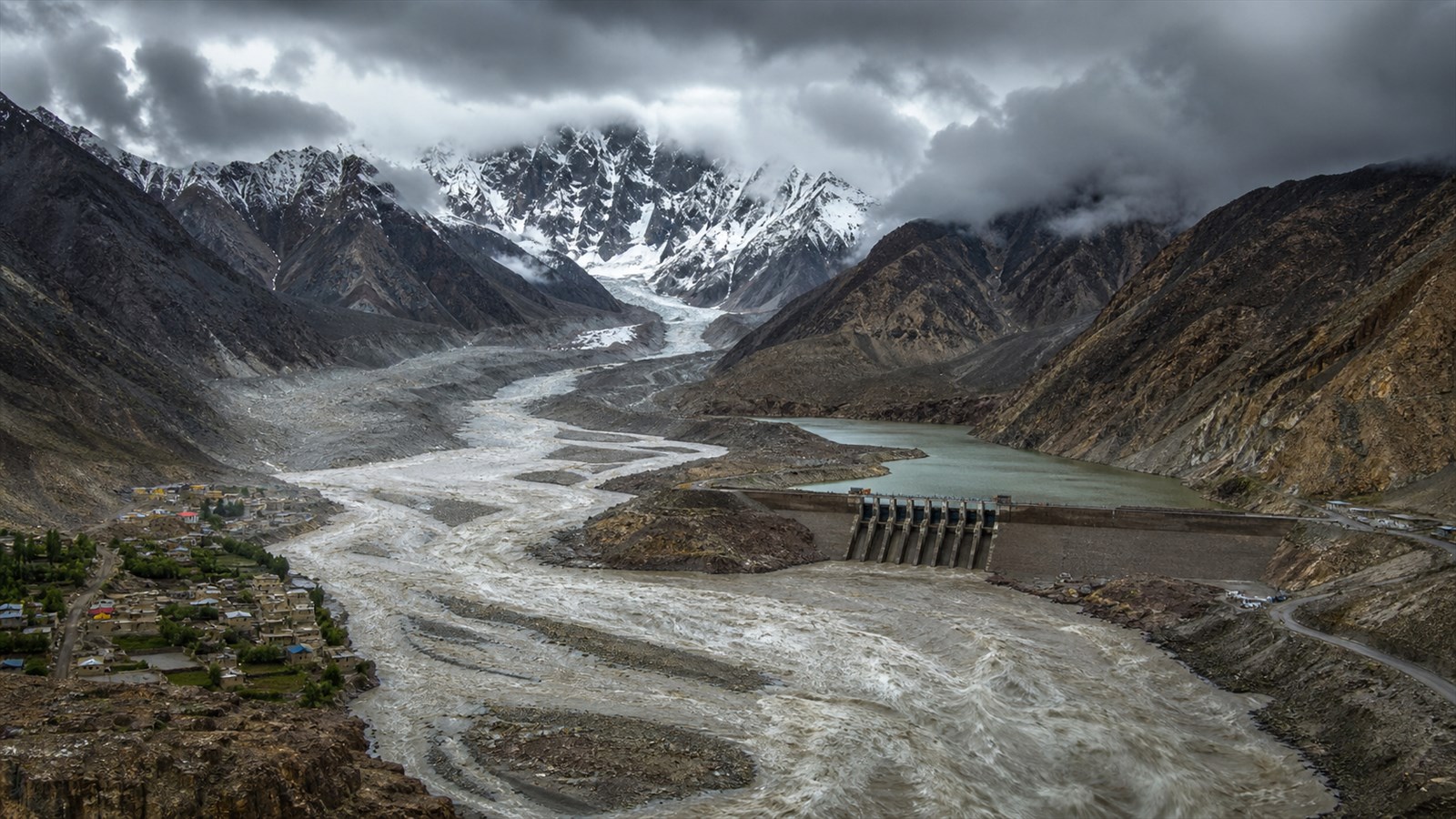
What happened
Researchers combined observations with a high-resolution cryosphere-hydrological model to examine floods in the glacierized Upper Indus through 2100. The study projects more frequent, intense, and rapidly rising floods, driven mainly by increasing rainfall while snow and glacier melt remain important and can contribute more than 70% at flood peaks. It projects the frequency of Tarbela Dam reaching its maximum conservation level to rise 2.7 +/- 0.9 times by 2100. These are scenario-based projections, not a forecast for a specific future flood.
Why it matters
A river system can become harder to operate safely even when its annual water supply appears manageable. Dam rules, sediment planning, warning systems, roads, and downstream development all need to account for faster and less predictable flood peaks.
What to watch
- Whether reservoir operating rules, flood forecasting, sediment management, and cross-border data sharing are updated for changing rainfall and earlier snowmelt.
- New observations that test the model projections, especially the relative roles of extreme rainfall, snowmelt, glacier melt, and future downstream exposure.
Sources & evidence
- More unpredictable river floods at the most glacierized Third Pole basinOpen-access Communications Earth & Environment article-in-press published May 14, 2026, DOI 10.1038/s43247-026-03623-8. The results combine observations and scenario modeling; they are not event-specific forecasts.
Continue learning with ACC
Explore ACC's climate resilience guide